The trail couldn't start out any mellower than this. It's a flat, wide converted logging road. Boring for hiking, but a good way to warm up.
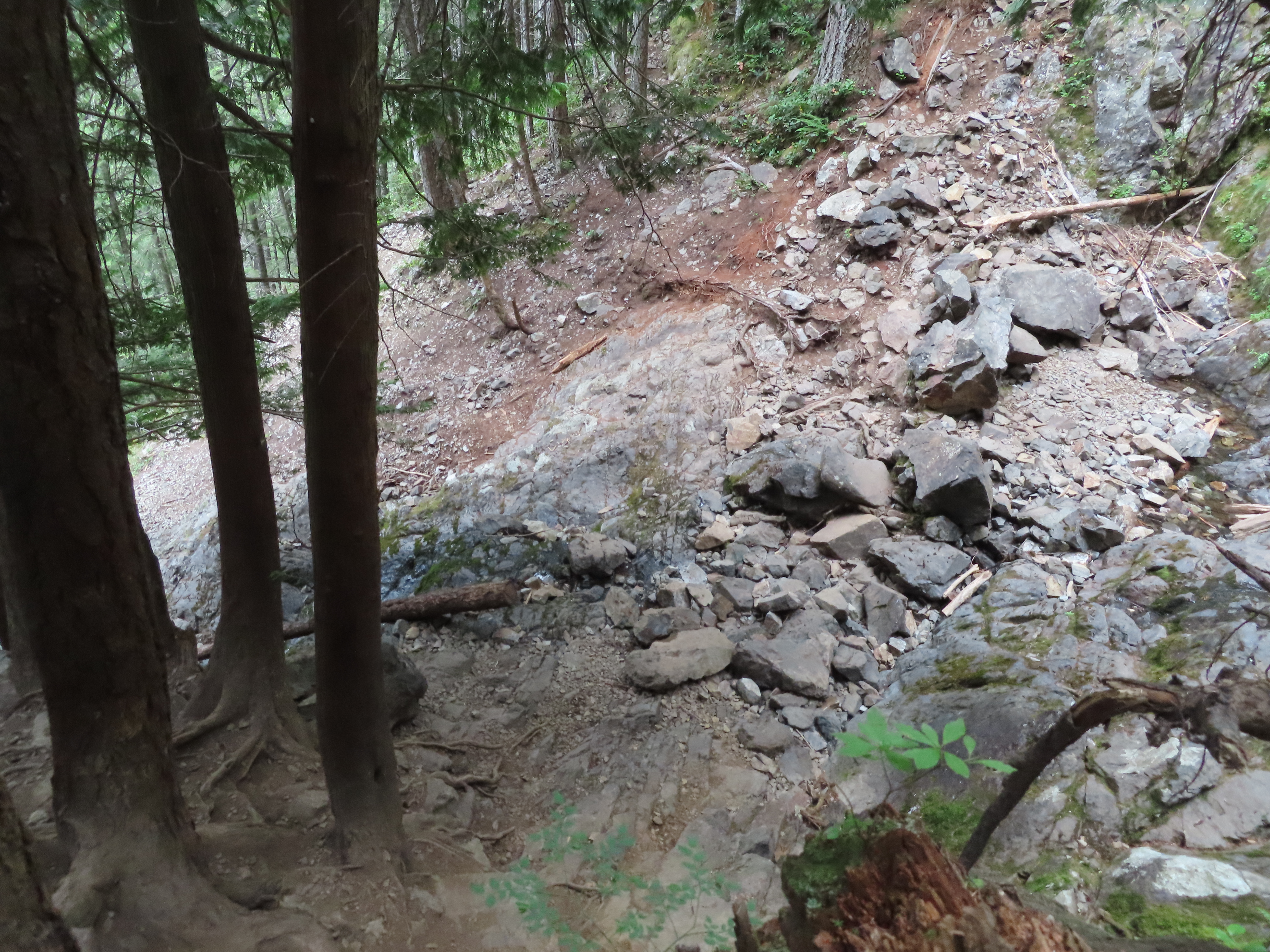
The trail changes once onto the trail to Teneriffe Falls. It crosses several rocky areas as the switchbacks carry us upwards to the falls.
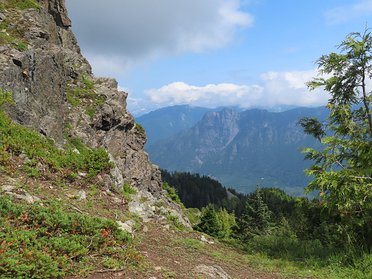
Peek-a-boo view down the Middle Fork valley. The low cloud ceiling kept things cool.

Teneriffe Falls! Well...it would be in spring when snow is melting further up. For now it's only the slightest trickle coming down.
Looking up at the falls while modeling Kathryn's homemade COVID-19 mask.
In wetter times this would be the lunch spot for those whose destination is the falls, but that's not us. We've still got almost 3,000' to climb.
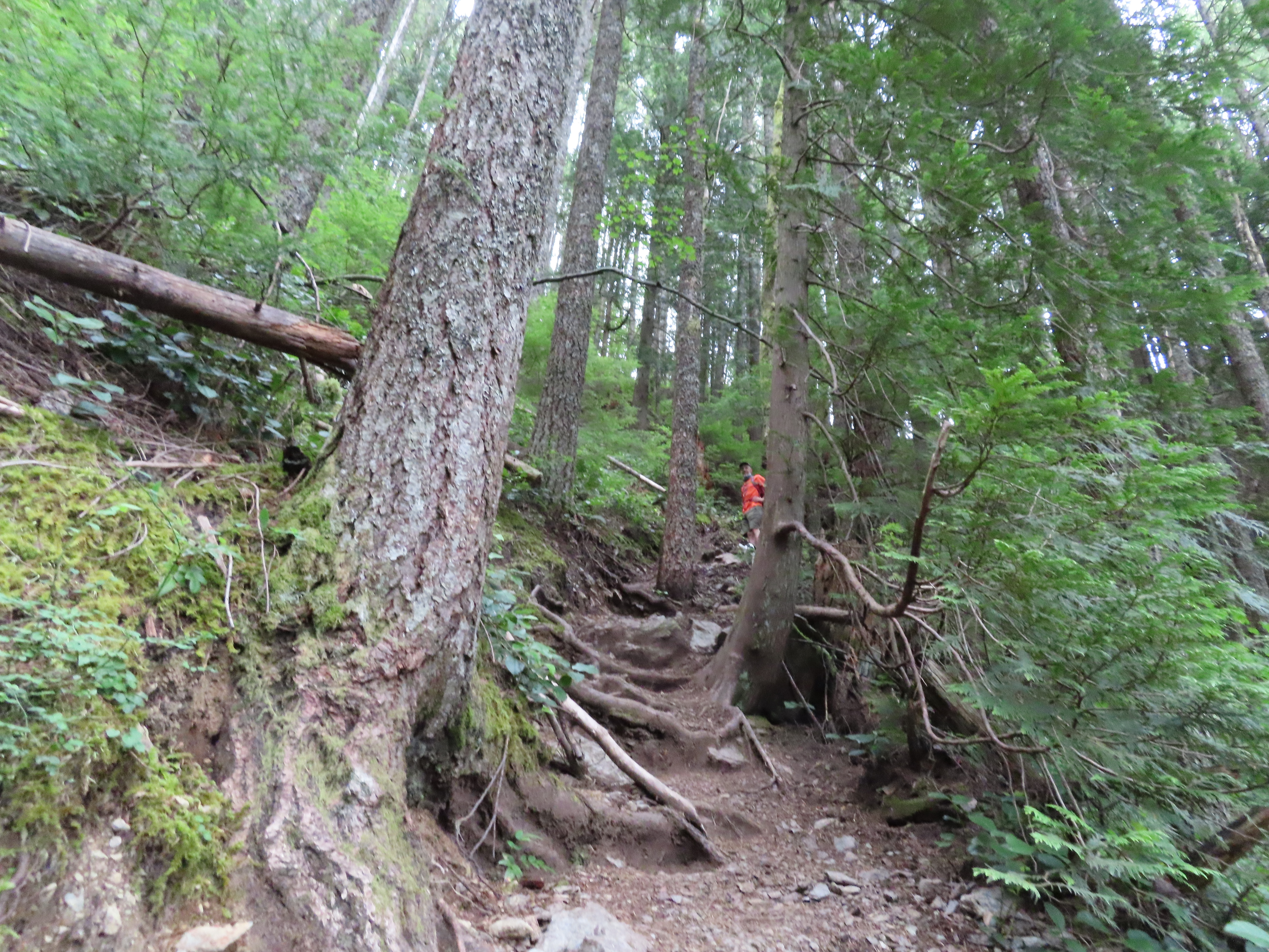
Backtracking a bit from the falls brings us to the Kamikaze trail which makes its way steeply and relentlessly along the ridge to the summit.

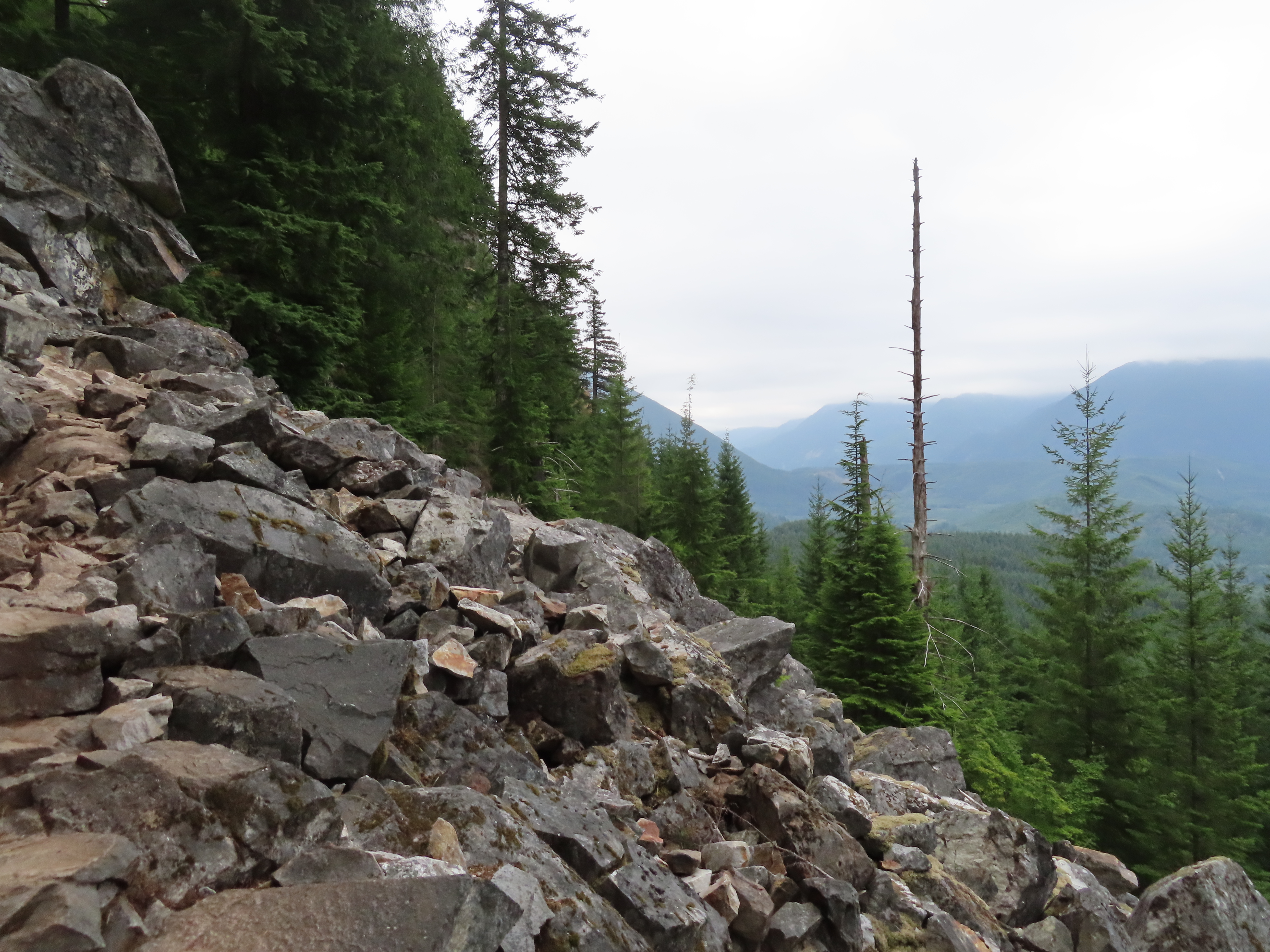
The trail itself is in surprisingly good condition considering it's an informal unmaintained trail.

Tippy top of Mailbox Peak, across the Middle Fork valley, trying to battle out of the clouds.
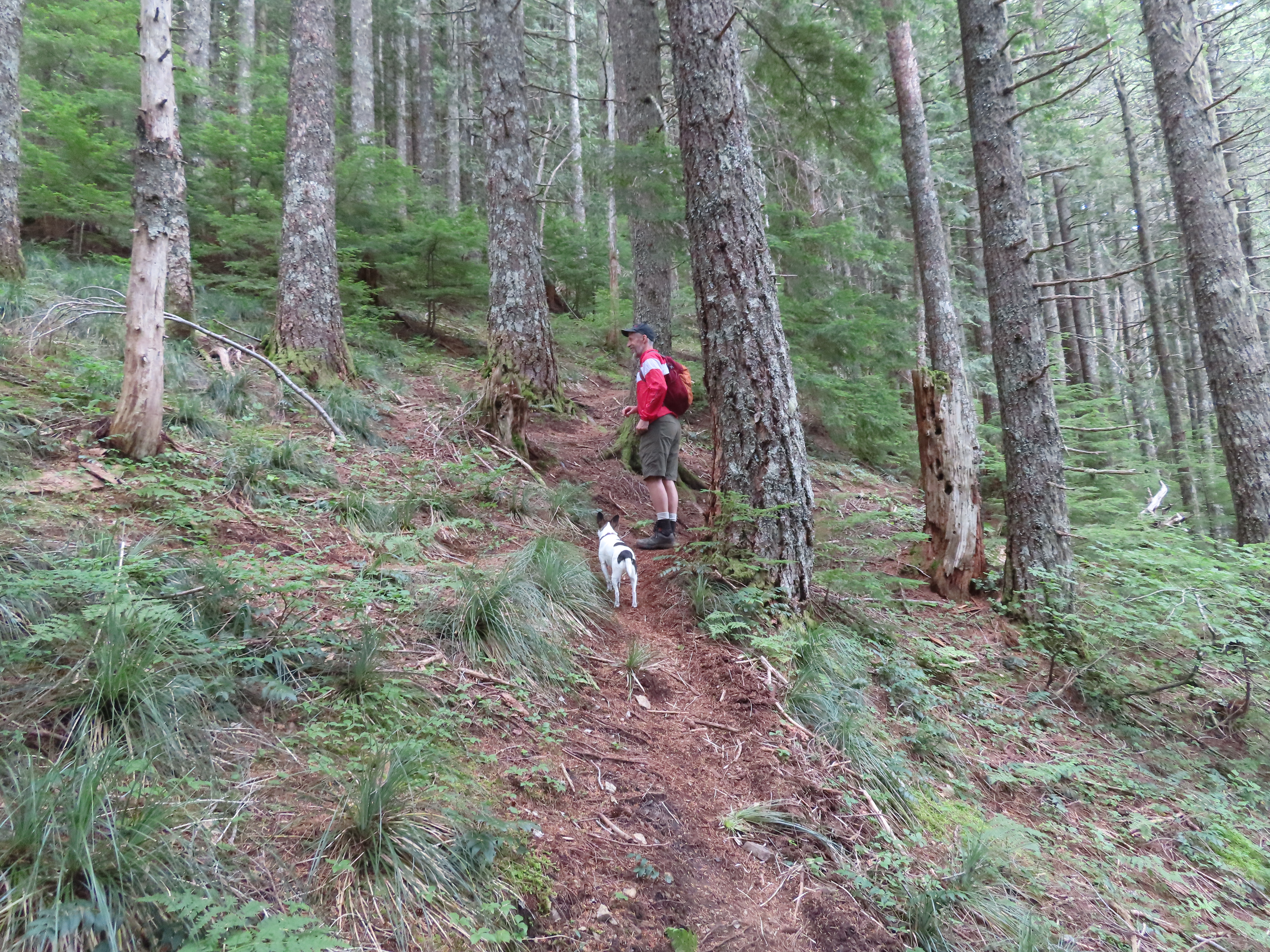
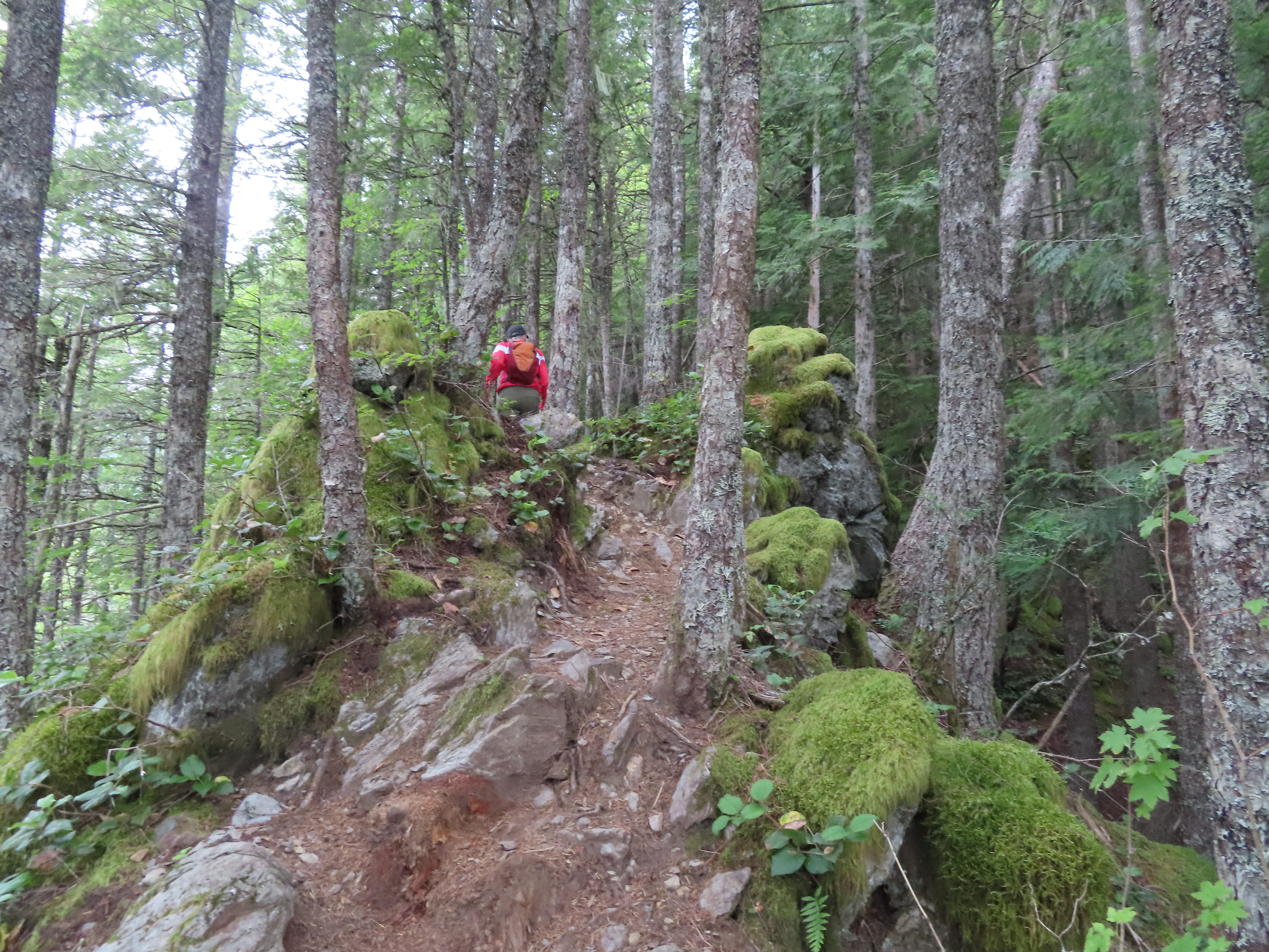
Here's a mellow section of the Kamikaze trail. Nice soft ground for hiking.


Kathryn's expression of disbelief how long the climb continues. She's had many opportunities this summer to make this face since we've been selecting steeper…
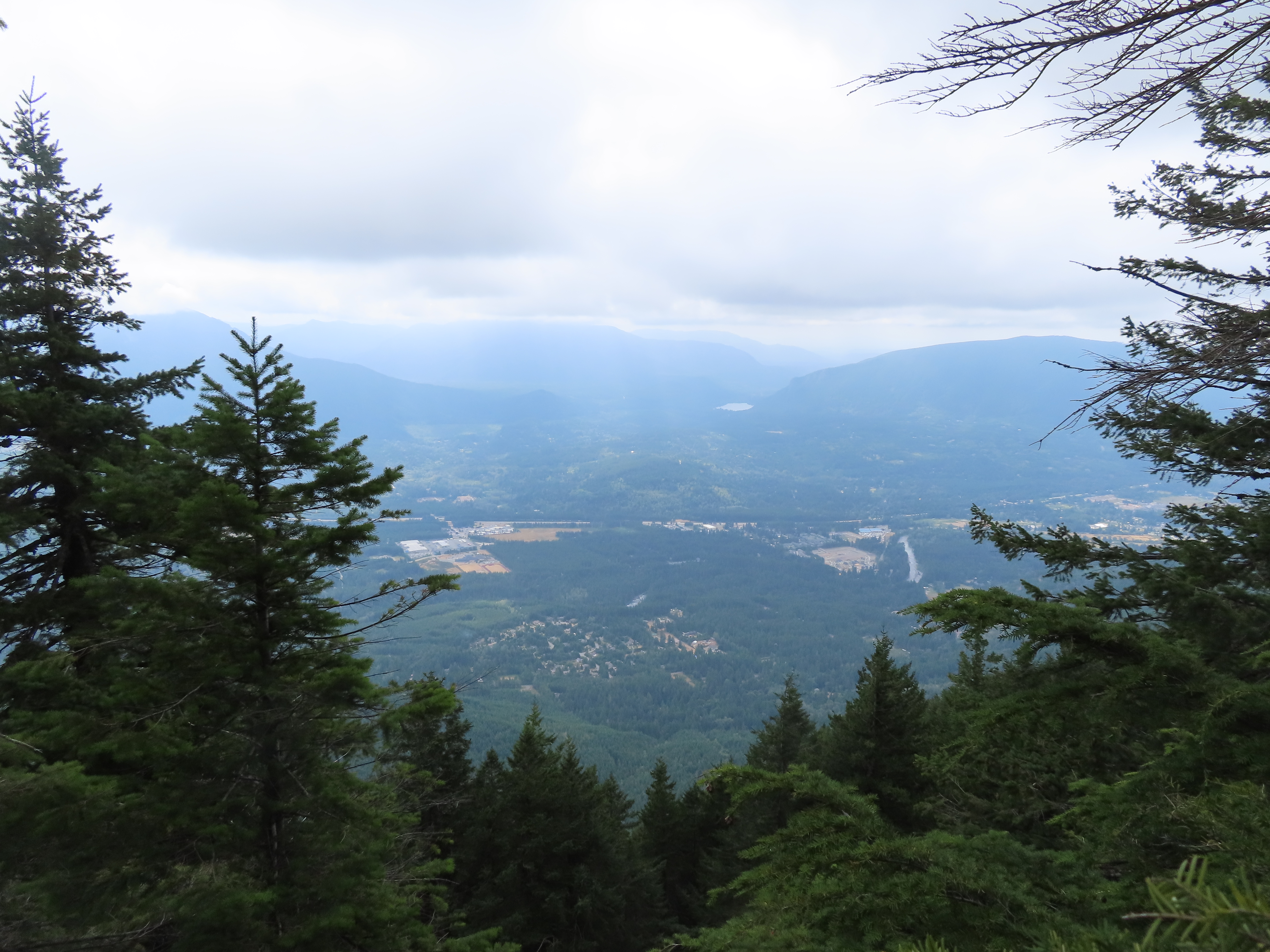
Rattlesnake Lake and Ledge visible in the distance. I-90, which we could unfortunately hear for most of the hike, cuts through the middle of the picture.
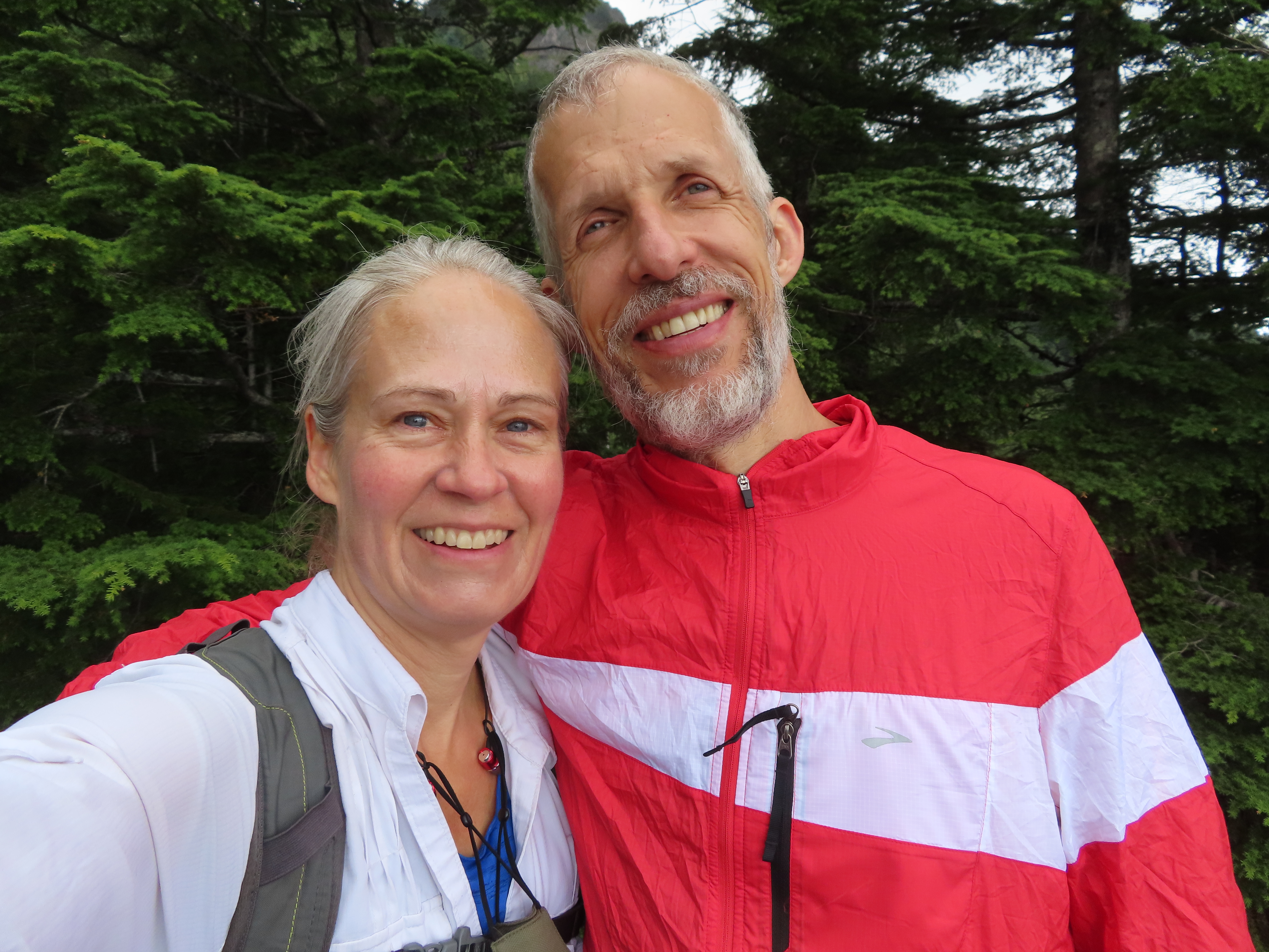
Selfie time. Well...really more of an excuse to rest for a bit since we've still got a bunch of climbing to do.
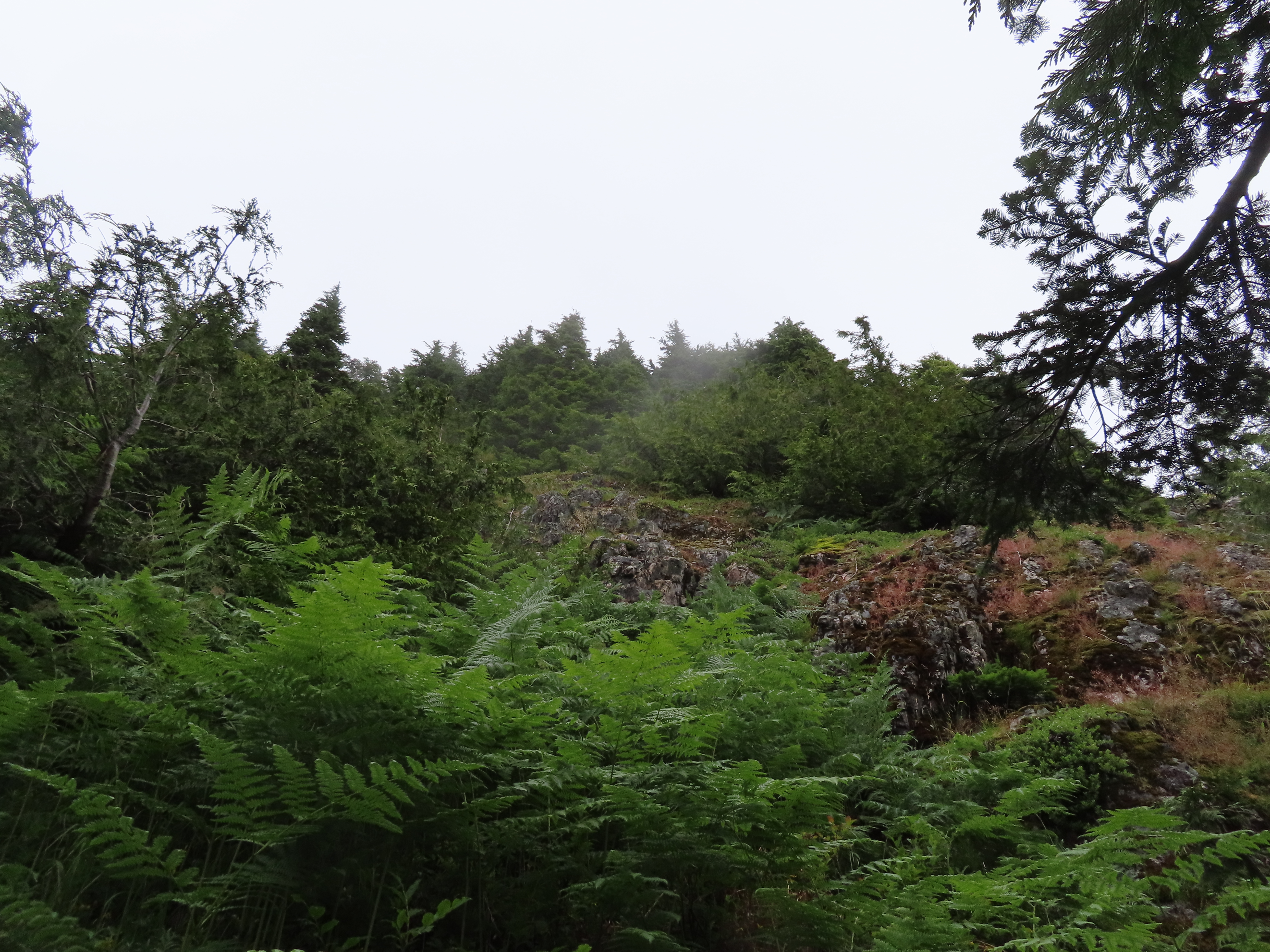
Finally out of the forest as we entered a brushy section. Thankfully it was dry or we'd have taken a shower through here.

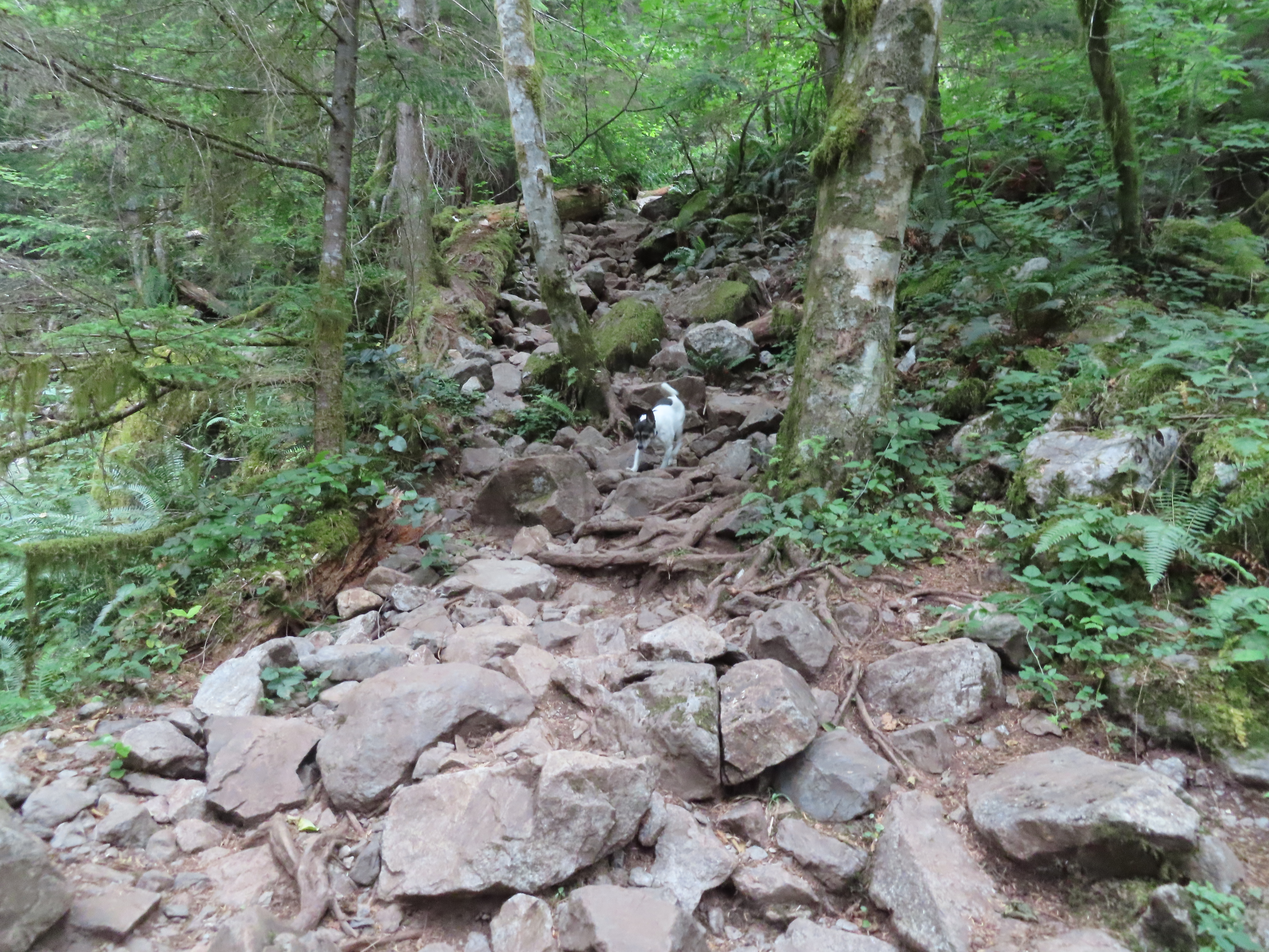
A rocky challenge for Zilly approaches.

Uh oh...we've climbed up into the bottom of the cloud layer. Not looking good for the summit which is still another few hundred feet up.
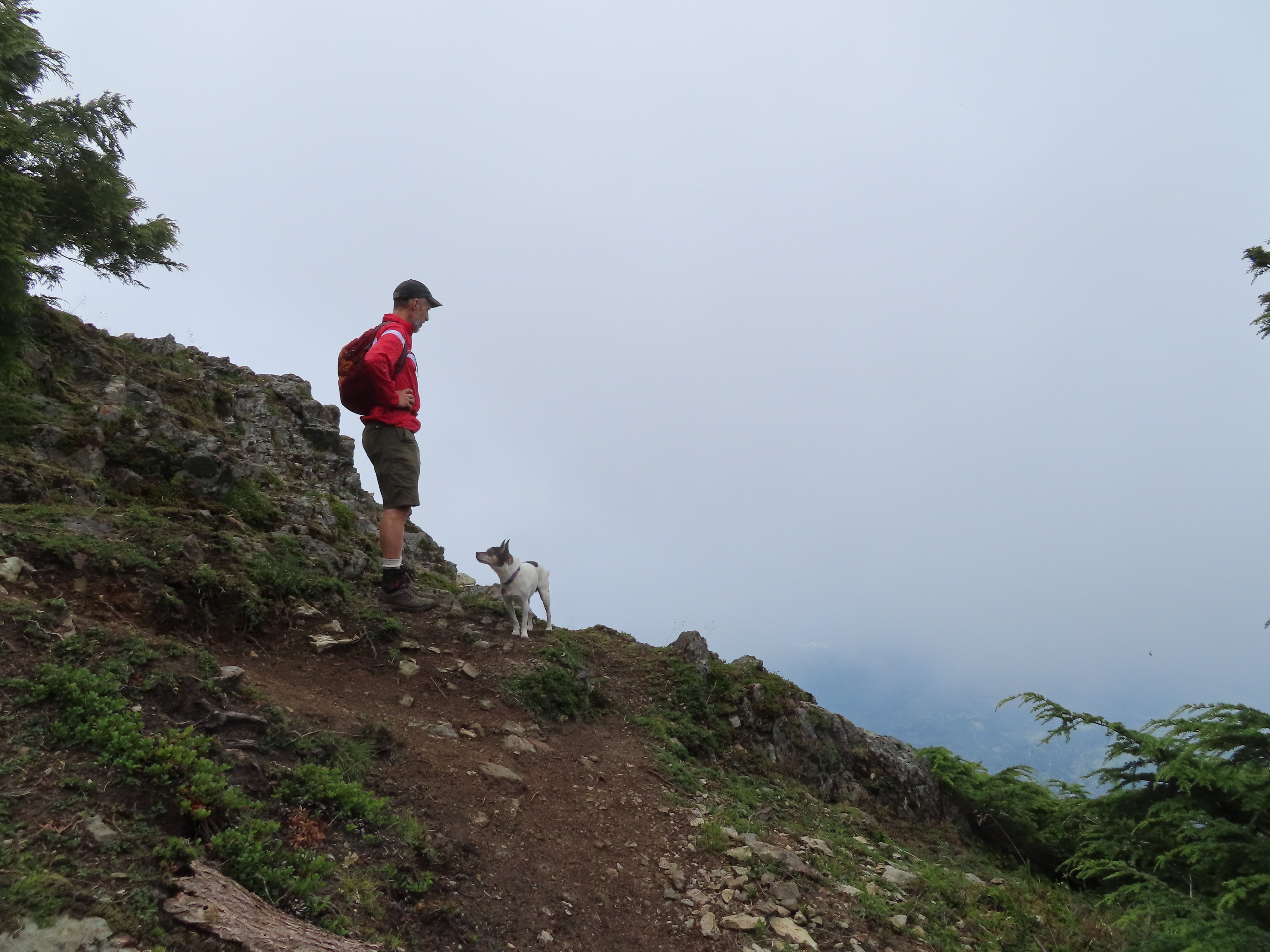
Martin contemplates the view while Zilly contemplates Martin. Can you see the thought bubble above him that says "Are we at the top yet?"