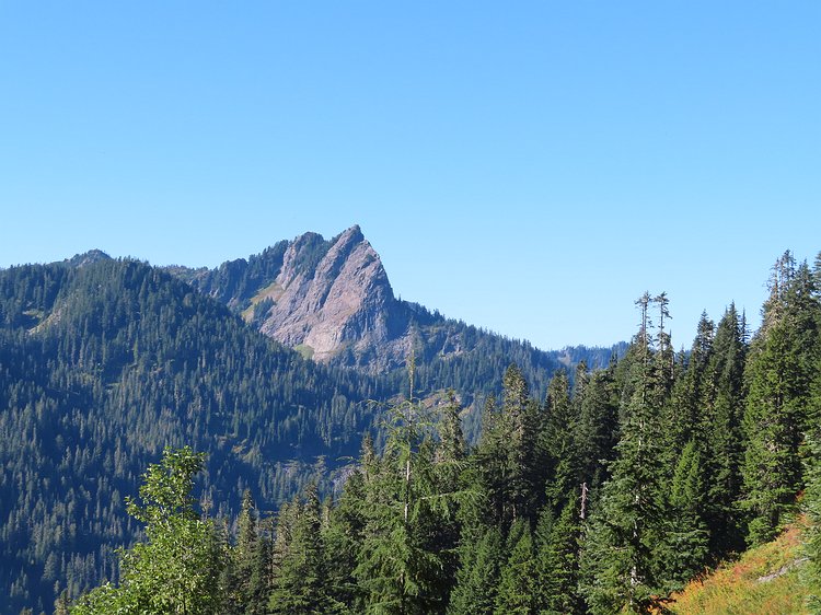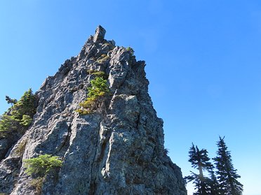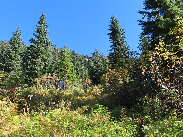
After an uneventful first few miles hiking up an old logging road it was time to try to follow a subtle trail. Opting to bypass the rock field that's barely…
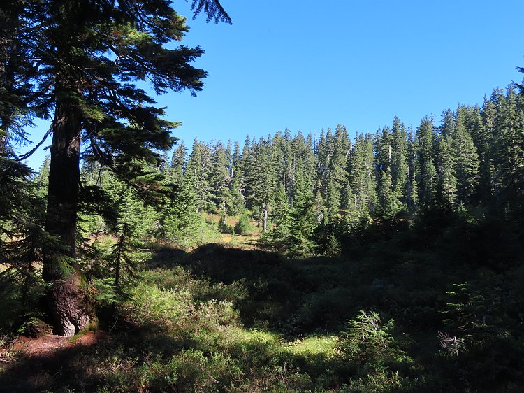
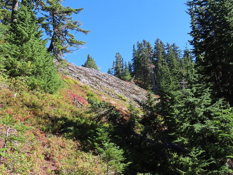
Umm...can you see the trail? Me either! There were a few cairns along the way and some infrequent flagging, but it was mostly aiming generally uphill in hopes…
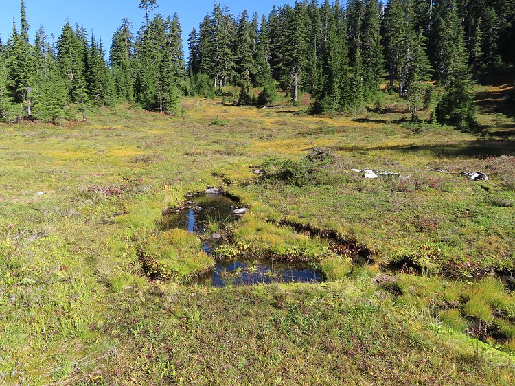
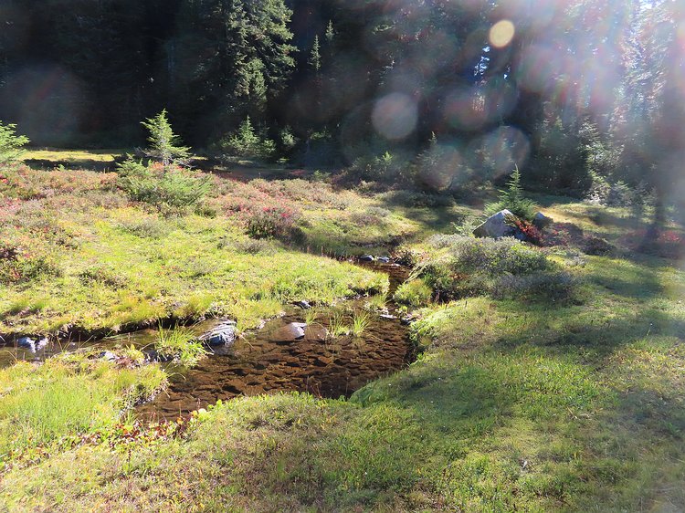
Surprise surprise, there was a meadow just below the ridge. Unfortunately there was no obvious trail through this fragile section so I did my best to stay on…
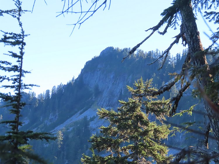
The first view of the summit of Rooster Mountain after attaining the ridge. Still quite a distance to go and elevation to climb.
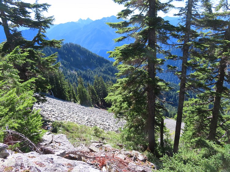
Making my way along ridge. Thankfully some wonderful person had done a great job clearing a path through the brush so the ridge was one of the easier parts of…
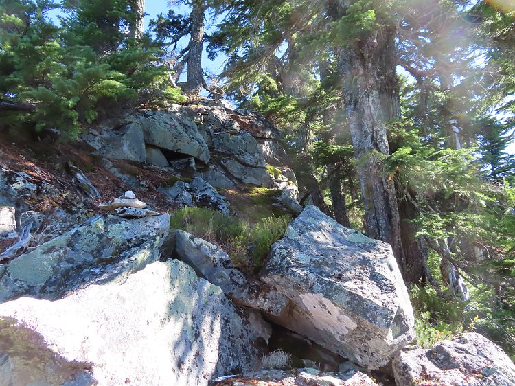
Can you spot the cairn? Most were about this obvious so I missed a few while hiking uphill. On the way down they were easier to spot.
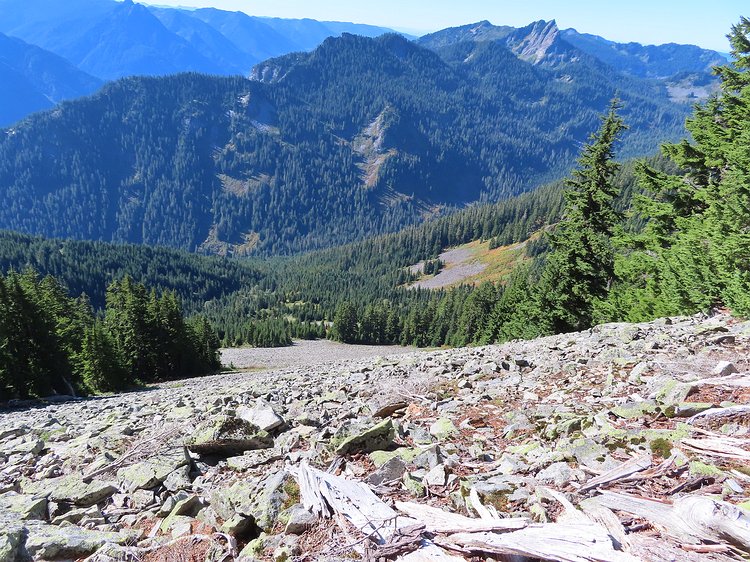
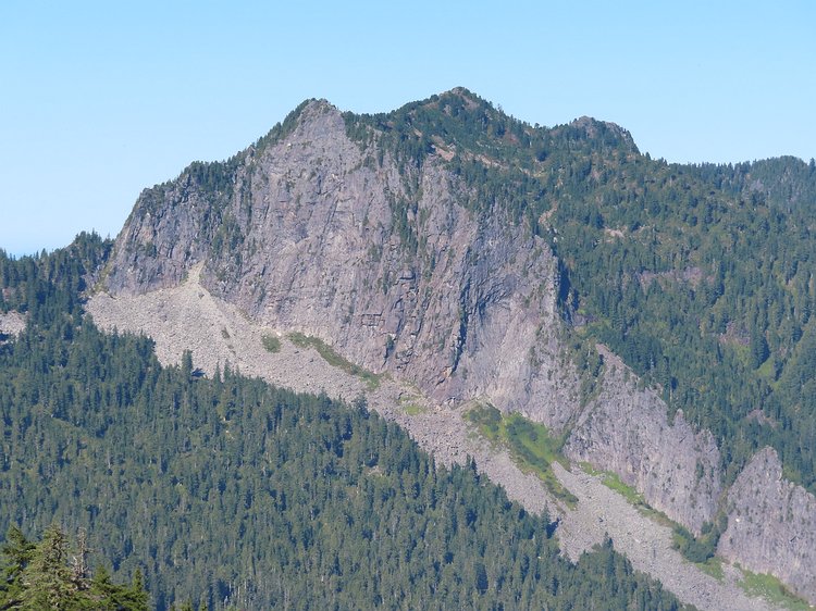
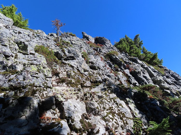
Yeah, no thanks. Here's the rock field I avoided by coming out of the valley to the left and continuing on towards the farthest rock fields before turning…
